
Custom Maps for Every Business Application
Wall Maps, Map Books and Digital Maps built around your areas, your data and your brand, for territory, delivery, site selection, direct mail and hundreds of other applications.
- Since 1987 Creating Custom Map Solutions
- 380,000+ Projects delivered
- Nearly 100% of the FORTUNE 500 served
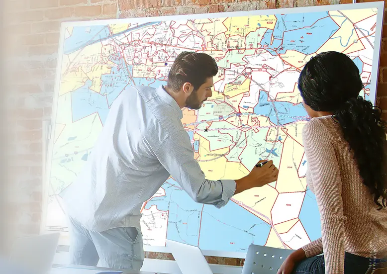
Work with a Map Specialist
Let us create a map that fits your exact needs with custom areas, data, styles, coverage and design.
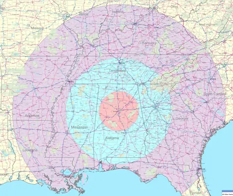
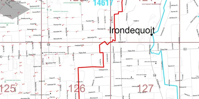
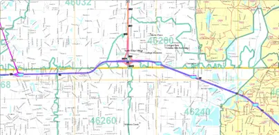
We build it for you
Your Map, Built by Our Experts
Our Map Specialists will quickly answer your questions and help you find the best solution for your business.
- Customize any area in the US, Canada and the world
- Add company names, logos and custom titles
- Plot locations, theme maps and outline territories
- Add your data: sales, territories, customers, competitors
- Choose your format, size, style and finishing options
Our Map Specialist will work with you for the Custom Map.
Custom Maps for Any Application
See how ZIPCodeMAPS clients put Custom Maps to work
-
Delivery Maps & Management
Manage routes, reference territories and keep deliveries ahead of schedule.
-
Territory Maps & Management
Know, create and evaluate franchise, sales and delivery territories.
-
Location Analysis & Site Selection
Analyze the areas around current or future sites with maps and demographics.
-
Direct Mail Maps & Targeting
Target the households most likely to respond with accurate geographies, demographics and mailing lists.
-
Market Analysis Maps
Evaluate new or current markets by mapping demographics, competitors and customers.
-
Marketing Management Maps
Streamline marketing with maps, demographics and consumer and business mailing lists.
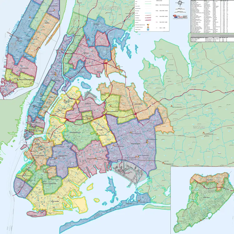
Accurate, up-to-date data
Built on Accurate Data, Plus Yours
Every map starts with accurate base data, updated at least once a year. Then, we add your data and market data from the highest quality providers in the industry.
Base Map Data
- Political: Country, State, County, MSA, CBSA
- Census: Census Tract, Block Group
- Postal: 3- & 5-digit ZIP Codes, ZIP +1 to +4, Carrier Routes
- Districts: School, Congressional
- Streets: Interstates, US & State Highways, Toll Roads
- Points of Interest: Airports, Golf Courses, Parks, Institutions
Your Data
- Your data: Sales, Territories, Customers, Store or Office Locations
- Location: Business & Traffic Counts, Consumer & Competitor Locations
- Demographics: Census Data, Estimates, Projections
- Market potential: Supply & Demand, Market Voids, Unrealized Potential
- Segmentation: Neighborhood Demographics, Consumer Preferences
- Psychographics: Lifestyle & Behavioral Data, Consumer Expenditure
- Risk indices: Weather Risk, Crime Risk